Six months have gone by since the start of the project. We have used this time to investigate the specificities of the urban contexts of our five pilot areas. Selected key stakeholders (mobility experts, public authorities, NGOs, transport providers, citizens’ grassroots initiatives etc.) were engaged through semi-structured interviews, while local communities were approached asking to provide their opinions through an online survey. Our aim was to gain further insights into social, economic, technological, legal and mobility variables affecting the urban profiles in order to define more precise intervention areas. Therefore, we looked at:
- the regulatory framework: local and regional relative policies and factors that can facilitate or hinder the implementation of community-based mobility interventions
- current mobility innovation ecosystem stakeholders: transport authorities and operators, local and regional authorities, public transport users, urban planners, mobility experts
Moreover, we combined the analysis of primary data (collected through surveys and interviews) with an accurate literature review to shed lights onto several crucial questions, including: Which factors influence satisfaction regarding people’s daily travel patterns? How can accessibility and public participation be improved in order to provide high-quality sustainable mobility and transport policies and infrastructure?
We combined quantitative and qualitative methods to single out the urban challenges of the five pilot cities. Here’s a taste of what we found.
Oxfordshire, UK
The city of Oxford, with an estimated population of 161.300 inhabitants, is the county town of Oxfordshire. It constitutes an ethnically diverse city whose young population has steadily increased in the last decade. It is also a renowned academic centre with a large number of science-based businesses, but it includes several areas of economic and social deprivation. Among its mobility challenges, the lack of bus services stuck out. The problem is multifaceted, as it encompasses the low frequency of bus services, the lack of connectivity, delays and the non-affordability (or the relatively high costs of the service). In addition, congestion was signalled as a primary concern along with lack of parking and with low affordability of car ownership. Concerns were raised in walking and cycling regarding the structural characteristics of the pavements, lack of crossings, lack of lighting, lack of continuity in cycle routes, which makes cycling or walking unattractive alternatives to the car. Regular car users travelling to work/study are therefore the dominant group, followed by bus users (38%) despite their low travel satisfaction. Although most citizens own a car and resort to travel apps, they tend to be unaware of car-sharing schemes.
Budapest, HU
Budapest is a large city of 1.7 million inhabitants. It is divided into two parts, Buda and Pest, by the river Danube that constitutes a multifunctional area and a crucial transportation network across the city. Besides the ferry, the city is served by 4 metro lines, 5 suburban railway lines, 30 trams and 276 bus lines, and a community bicycle rental system. Nonetheless, a high number of private vehicles causes congestion problems. Car-sharing schemes are not much used in the city and congestion, together with the lack of parking spaces, is one of the major challenges for Hungary’s capital city. Moreover, the transport system is not an integrated mobility system. Instead, it is characterised by fragmentation, low connectivity and lack of cooperation. In general, thus, despite its high quality in terms of spatial coverage and service frequency, Budapest public transport is affected by road traffic, lack of integration and relatively high costs. Although bicycles are frequently used for travelling between home and work and cycling areas are expanding, cyclists feel there is the room for improvement. Pedestrian infrastructure is also reported as not satisfactory.
Trikala, GR
The city of Trikala, one of the oldest cities in Greece, is a medium-size city in Central Greece and has 81,355 inhabitants with a high educational level. Of the ageing local population, 60% is economically inactive, while almost 20% of the economically active population is currently unemployed. Considering urban mobility, Trikala is a modern city with an excellent street layout and many spacious squares. Thanks to its small size, citizens prefer to walk or cycle and move by bus when they want to reach distant regions. The great majority of citizens, however, tends to use private cars to move in the city even when distances are very limited. The utilisation of public transport is discouraged by low frequency and delays in service. The absence of bus lanes, traffic congestion and unorganised parking are additional concerns for urban mobility, also affecting pedestrians and cyclists.
Üsküdar (Istanbul), TR
The district of Üsküdar, with 535,537 inhabitants, is one of the oldest districts of Istanbul in Turkey, bordering the Bosphorus Strait. Traffic congestion, unorganised parking, delays and lack of frequency in public transportation are reported as the primary mobility challenges. Although public transportation is the main mobility mode in the area, users tend to prove dissatisfied. However, the use of bicycles or walking are not considered viable alternatives for moving across the district and in the city. As a matter of fact, besides the fact that the geographical features of the area are less suitable to non-motorised solutions, the infrastructure for walking and cycling is generally poor and affected by congestion and the usage of private cars.
Altona (Hamburg), DE
Altona has its own history as an independent city as one of the Danish monarchy’s most important harbour towns until 1937. With its 262,129 inhabitants, it is now one of seven districts in the City of Hamburg in Germany. It is located to the West of the inner city, bordering the River Elbe. In general, the current mobility context in Altona is complex and heavy with conflicts –mirroring the greater Hamburg context, where discussions of transportation are currently a hot-button issue. Low connectivity, combined with large distances between neighbourhoods and public transport stations, is considered a key mobility challenge. Thus, the planned relocation of the Altona station adds an element of complexity to the debate.
Private car drivers have to deal with congestion due to the lack of a transit by-pass motorway. Pedestrians and cyclists are not necessarily better off: pavements tend to have structural problems, while cycling infrastructure is too limited for a mobility mode that is dominant in home-work/study journeys.
Multi-modality is prevalent for leisure activities, when people benefit of a greater flexibility to adapt their travel habits to the particular purpose or destination. Car and bike-sharing systems fit into this framework, being rarely used as sole travel mode.
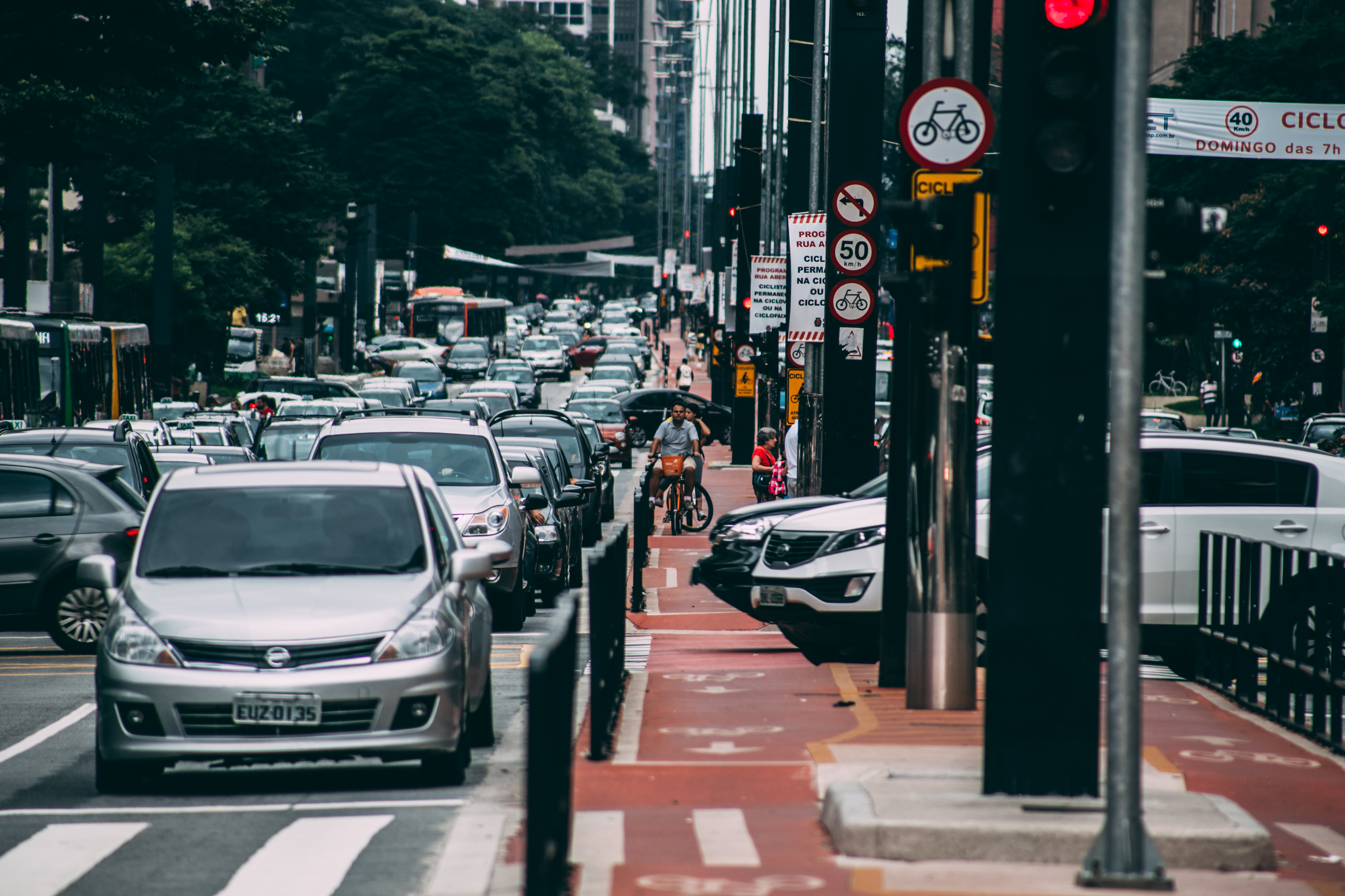
The comparative analysis of the five urban profiles highlighted similarities and differences in urban mobility transport systems, in process and practices used. It should also be acknowledged that some communities have not been reached through interviews and surveys, which represents a limitation to the study, as the needs and perspectives of these people may be different from those of other citizens. For example, youth (under 18), immigrants, unemployed and low-income groups or people with disabilities were underrepresented in the survey samples in each city. However, instead of seeing these gaps as a problem, we can use them as a lesson learnt to devote specific outreach efforts towards such groups during our next project activities, especially when setting up Citizen Mobility Communities.

















 English
 Magyar
 Deutsch
 Turkish
Leave a Comment