Blueprints were initially paper-based representations of technical drawings, used primarily in architecture and engineering fields. More recently, the name has been appropriated in design and organizational fields, used to describe detailed plans and structures displaying both digital and physical elements and how they interlink with one another.
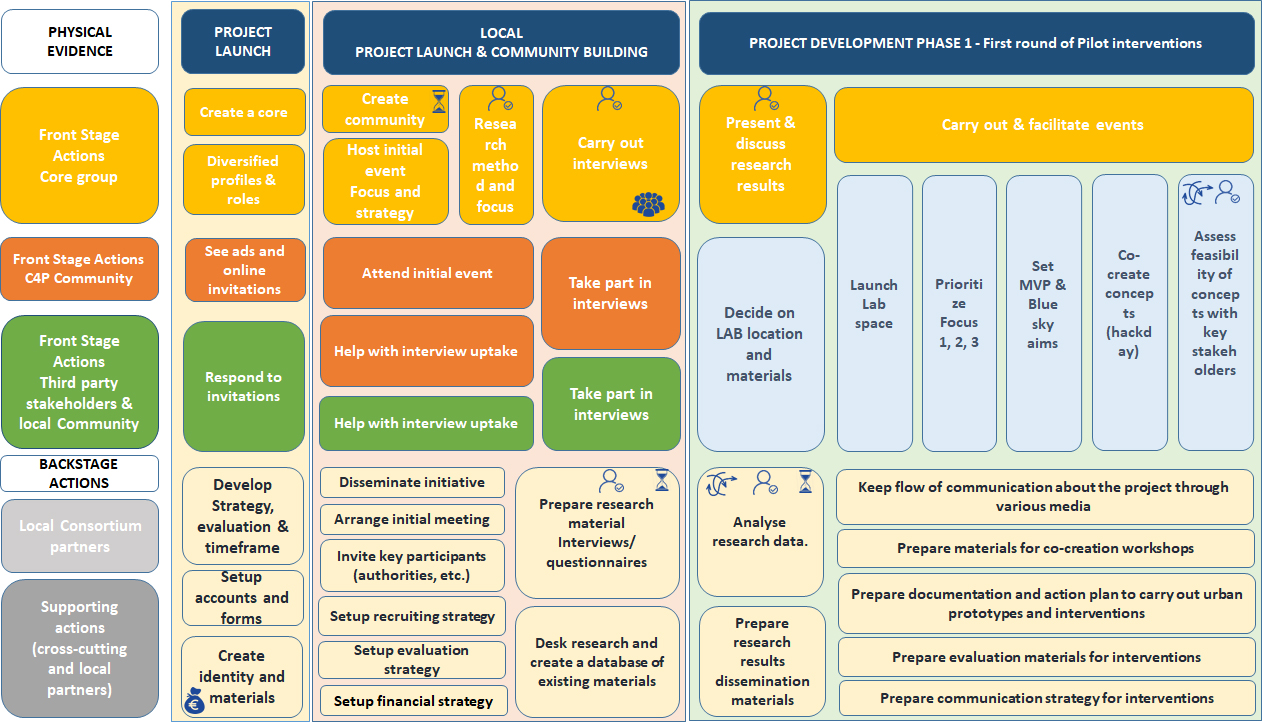
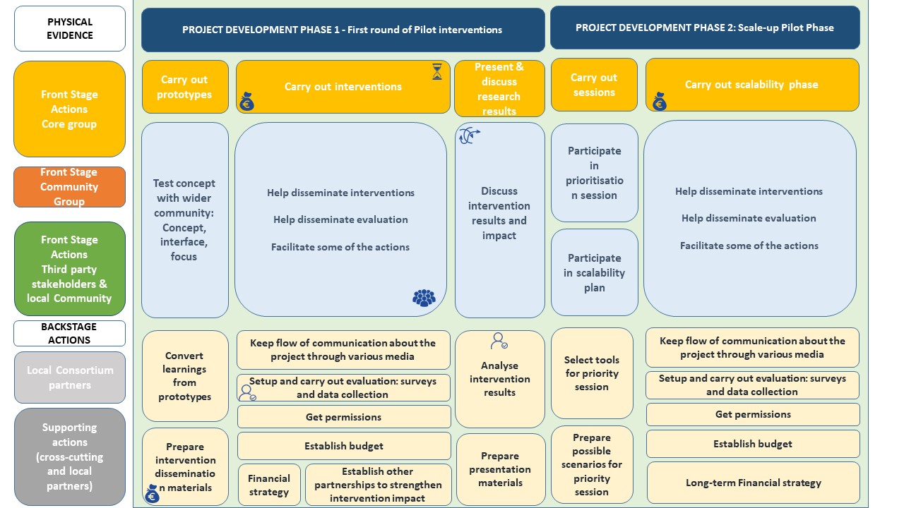
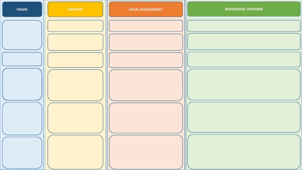
In the Cities-4-People project, blueprints are being used to both demonstrate and plan how the whole project has evolved, illustrating how events, actions and activities, and which groups stakeholders and communities, have being deployed towards mobility and transportation solutions to fulfil the project goals. This visualization tool serves as an illustrative guideline of the project frame and steps required to bring it to life, facilitating the process of planning and replicating similar projects in other locations and cities. The tool also aids institutions to have a quick access of a knowledge that tends to be ‘tacit’ and withheld by the employees directly involved in the project development. These employees will still carry the knowledge about the learnings from the sessions and the events, however, even some of these aspects can be illustrated on the blueprints, such as cost, human resource heavy, complexity, etc. Also, the blueprint will help avoid ‘missing’ steps or underestimations, which could jeopardize the project at any stage. Furthermore, by providing an overview of the whole project process, the blueprint can aid planners and developers to identify untapped opportunities that can be well exploited during the project deployment.
If you want to find out more about blueprints in the Cities-4-People project, you can download the Report on Cities-4-People Deployment Toolkit & Replication Guide (D6.9).
Take a look at the overall blueprint from project launch until the first round of pilot interventions in the images below.












 Magyar
 Ελληνικά
 Deutsch
 Turkish